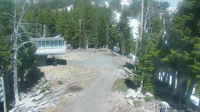
 Photo · every 10 min
CVO Hood (STAD, Southeast)
Source: Courtesy USGS Volcano Hazards Program · public domain
Mount Hood (Volcanoes (USGS), United States) has 1 camera on Zenitmap from an official source: USGS. These are volcano monitoring cameras. The USGS uses them to track activity, and in good visibility you can see the slope, the crater or the steam plume.
Photo · every 10 minSource: Courtesy USGS Volcano Hazards Program · public domain
Images refresh roughly every 10 min and the page loads new shots by itself, so there is no need to reload it. Views include, for example: CVO Hood (STAD, Southeast). The nearest other place with cameras is Government Camp (11 km away).
Mount Hood: the longest day of the year lasts 15 h 40 min (June 20) and the shortest 8 h 43 min (December 21). Today's exact sunrise and sunset times are in the bar at the top of the page.
Mount Hood is -8 h from the UK all year round. When it is 12:00 in London, it is 04:00 there.
They are images from USGS cameras, refreshed roughly every 10 min. The new shot appears automatically without reloading the page.
Currently 1 camera. The list is updated automatically from the source data.
The time zone is America/Los_Angeles. We show the current time plus sunrise and sunset at the top of the page, so you can tell at once whether it is light on the cameras.
The slope and the area around the crater. The USGS publishes these images to monitor volcanic activity. At night or in bad weather the image may be dark or foggy.
Mount Hood is -8 h from the UK all year round. When it is 12:00 in London, it is 04:00 there.